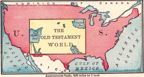
Comparative view of the United States and Old Testament world, approximate scale, 900 miles to 1 inch (in the original map which is only 3 3/4 inches across)
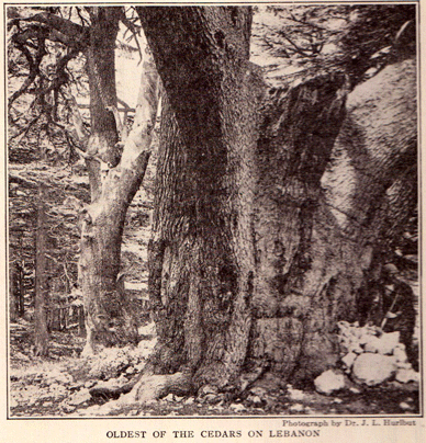
The Christian fascination with the Holy Land as a window into interpretation of the Bible has a long and indeed fascinating history of its own. Here I continue the thread on Jesse Lyman Hurlbutt’s A Bible Atlas (New York: Rand McNally & company, 1947, first published in 1882). I love the irony of the map above. Long before the political map devolved into Blue States vs. Red States, here is the Old Testament squarely in an expanded Bible Belt.
Here is Hurlbutt’s summary of the physical space defined as the Old Testament world:
The Old Testament world embraces the seas and lands between 30° and 54° east longitude, or from the mouth of the Nile to the head of the Persian Gulf; and between 27° and 40° north latitude, from the parallel south of Mt. Sinai to the north of Mount Ararat. The total extent of territory is about 1,400 miles from east to west and 900 miles from north to south, aggregating 1,260,000 square miles. If the space occupied by the Mediterranean Sea and other large bodies of water is deducted from this, the land will include about 1,110,000 square miles, or one-third of the extent of the United States, excluding Alaska. Unlike the United States, however, nearly two-thirds of this area is a vast and uninhabitable desert, so that the portion actually occupied by man is less than an eighth of that included int he American Union.
I wonder what Sarah Palin would think about Hurlbutt excluding Alaska, but at least it was not a state yet and some still referred to it as Seward’s folly.
To be continued …