The ubiquity of GPS threatens to leave the old printed map out of the picture. This is a pity, for there is much to be learned from the way maps frame the world. As J. Z. Smith once remarked, map is not territory. True enough, but maps are the way we imagine not only territory but our place in it. When Edward Said wrote his critique of Orientalism in 1978, he cited novelists, travelers, poets and academics, but no mapmakers. But in a way Holy Land maps are what put the Holy Land on the map. Maps not only illustrated what was thought to be the lay of the land, but what people imagined was there.
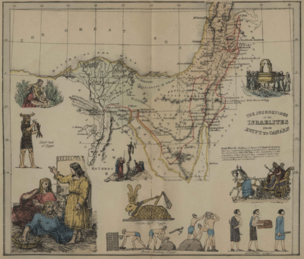
A splendid example of this is an 1856 pictorial Bible map of the Journey of the Israelites from Egypt to Canaan. I reproduce the image above, but if you
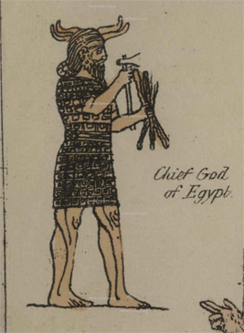
click here you can get a greatly enlarged view to see the details. Mind you, this was 1856, when few of the archeological discoveries in Bible territory had come to light. This is evident in the depiction of the “Chief God of Egypt,” (left side of map) who looks like a cross between an Assyrian and a Viking.
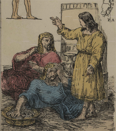
The events illustrated are Moses in the bulrushes, brickmaking, the golden calf, wandering in the wilderness and carrying the tabernacle. In the bottom left is a picture that I suppose must be Moses, although it looks more like Jesus gesturing to English barristers. And, wonder of wonders, the 10 Commandments are missing here.